
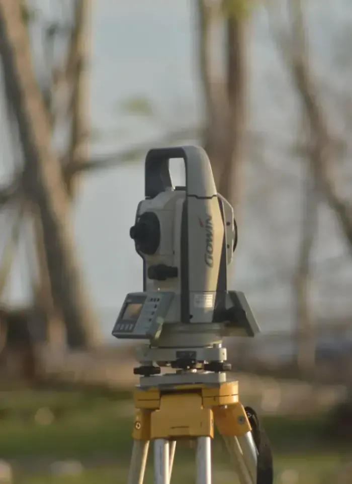
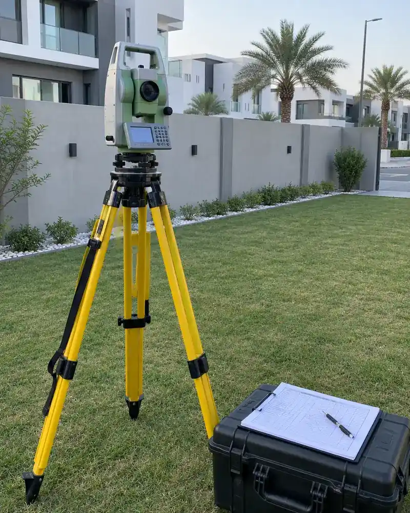
What the survey covers
Accurate field measurement documenting plot boundaries, levels and full coordinate data

Boundary setting-out
Marking plot corners and side lengths to metric accuracy on site

UTM coordinates
Recording each boundary point in the approved UTM coordinate system
Ground levels
Measuring level differences across the plot to reveal natural slope

Adjacent street data
Recording surrounding street widths and plot entry positions
Survey drawing
Producing a signed CAD drawing to attach to the permit file
Designer coordination
Handing survey data directly to the architect to start design
Signs you need a land survey
Permit application rejected
The authority asked for coordinate data or a certified survey before processing your permit
Boundary dispute with neighbour
A neighbour or contractor claims a wall or fence has crossed your actual property line
Old drawing no longer matches
The drawing you have shows dimensions that differ from what you measured on the ground
Newly divided or reclaimed plot
The plot resulted from subdivision and has no previously approved survey on record
Common land surveying mistakes
Relying on the title deed alone
The ownership document states total area but does not accurately fix the physical boundary on the ground
Designing before surveying
The architect designs on estimated dimensions and the error surfaces only after plans reach the municipality
Ignoring level differences
Undocumented ground slope leads to wrong foundation design and unexpected excavation costs
Survey without a licensed engineer
A survey unsigned by a licensed engineer is rejected by authorities and delays the permit
More in architectural design & drawings.


What goes wrong on most builds.
Most problems are built in early and found late. These three cost the most to fix.
 01
01Shortcuts under the finish
Concrete and steel disappear under the finish, so a shortcut there stays hidden until it cracks.
 02
02Mistakes behind the wall
A water or drain mistake found after the finish means breaking new tile.
 03
03A rushed finish
The finish is what you live with every day. Rushing it shows in every corner.
The solution?
One licensed company for the structure, the pipes and the finish.
Shortcuts under the finishEngineering supervision on site
The structure is followed before it is covered.
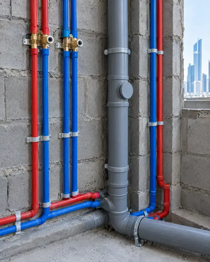
Mistakes behind the wallPlumbing by the same company
Laid before the walls close.
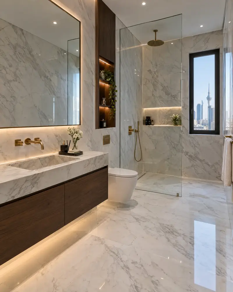
A rushed finishFinishing, and maintenance after
The same company finishes and maintains.
How it works.
First contact
Call or WhatsApp us with the plot number and approximate area
Document review
We review the ownership document and any available drawings
Field visit
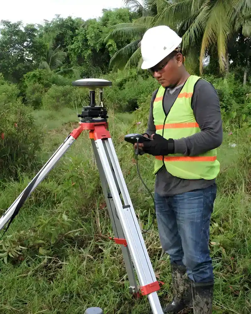
The survey team visits and measures boundaries and levels with precision instruments
Drawing production
Field data converted into a certified CAD drawing with UTM coordinates
Handover and coordination
Signed drawing and CAD file delivered to you and the architect
What sets the price.
Several field and engineering factors shape the quote; share your plot details to get an accurate figure
Get a quotePlot area
Larger plots require more field time and raise the cost
Plot shape
Multi-sided or non-orthogonal plots need more measurement points
Number of frontages
Plots on two or three streets require broader boundary and street documentation
Existing data availability
No prior survey or coordinate records increases the field work required
Output copies and certification
The number of official printed copies and external certification needs affect total cost
Why one contractor beats four.
Every extra contractor means another schedule and another excuse. With us, one company answers for all of it.
Turnkey
Shell and finishing with one company, from footings to keys.
Pay in instalments
Construction and finishing on instalments. Ask us for the details.
Engineering supervision
Architectural drawings and engineering supervision on site.
After handover
Maintenance contracts and a 24-hour emergency plumber.
A licensed Kuwaiti company for building construction, finishing, renovation and infrastructure works.
What our clients say.
See all reviews on GoogleExcellent
Taha Saad
Google review
Excellent
Ali Nadi
Google review
Land surveying in Kuwait. We work across all six governorates of Kuwait: Capital, Hawalli, Farwaniya, Mubarak Al-Kabeer, Ahmadi, Jahra.
Official references: Kuwait Municipality (building permits and plans)
Questions, answered.
Call nowIs a land survey different from a kroki?
A land survey is field work that physically measures the site and produces UTM coordinates. A kroki is a prepared engineering document based on that survey data and is used in the building permit file. Each serves a different stage of the process.
Can architectural design start before the land survey?
It is not advisable in practice. Designing on approximate dimensions risks plan rejection when actual coordinates differ, and correction rounds add unnecessary cost and delay.
How does natural ground slope affect the building design?
Level differences found during the survey let the architect set the correct ground-floor datum and design the foundation accurately, avoiding drainage problems and unexpected storey height adjustments.
Is a land survey required for construction in all Kuwait governorates?
Submission requirements are broadly consistent across all 6 governorates and typically require documented coordinates and boundaries. Specific requirements for your plot are confirmed when we review your project file.
What happens if the survey finds a construction encroachment on the boundary?
We document the encroachment on the survey drawing and inform you of the exact finding. How to address it legally or through agreement with the other party remains your decision once the field facts are clear.

Licensed and registered in Kuwait.
Check us before you sign. This is our licence number and what it covers.
Find us on Google Maps