
What the kroki covers
Plot data is captured and the sketch is drawn ready for the permit file
Plot boundary lines
All sides drawn to the exact registered dimensions
Required setbacks
Setback distances marked per governorate zoning rules
Corner coordinates
Corner points fixed with coordinates for precision
Street and entry position
Main frontage and proposed entry point shown clearly

Permitted coverage ratio
Buildable area calculated against the applicable zoning rules
Licensed engineer stamp
Signed and stamped by a licensed engineer for official acceptance
Tools and methods used for the kroki
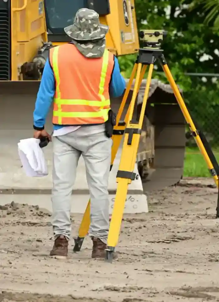
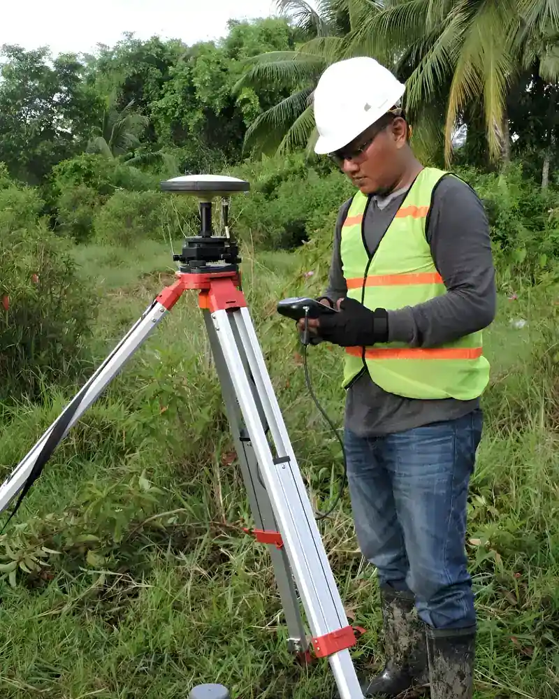
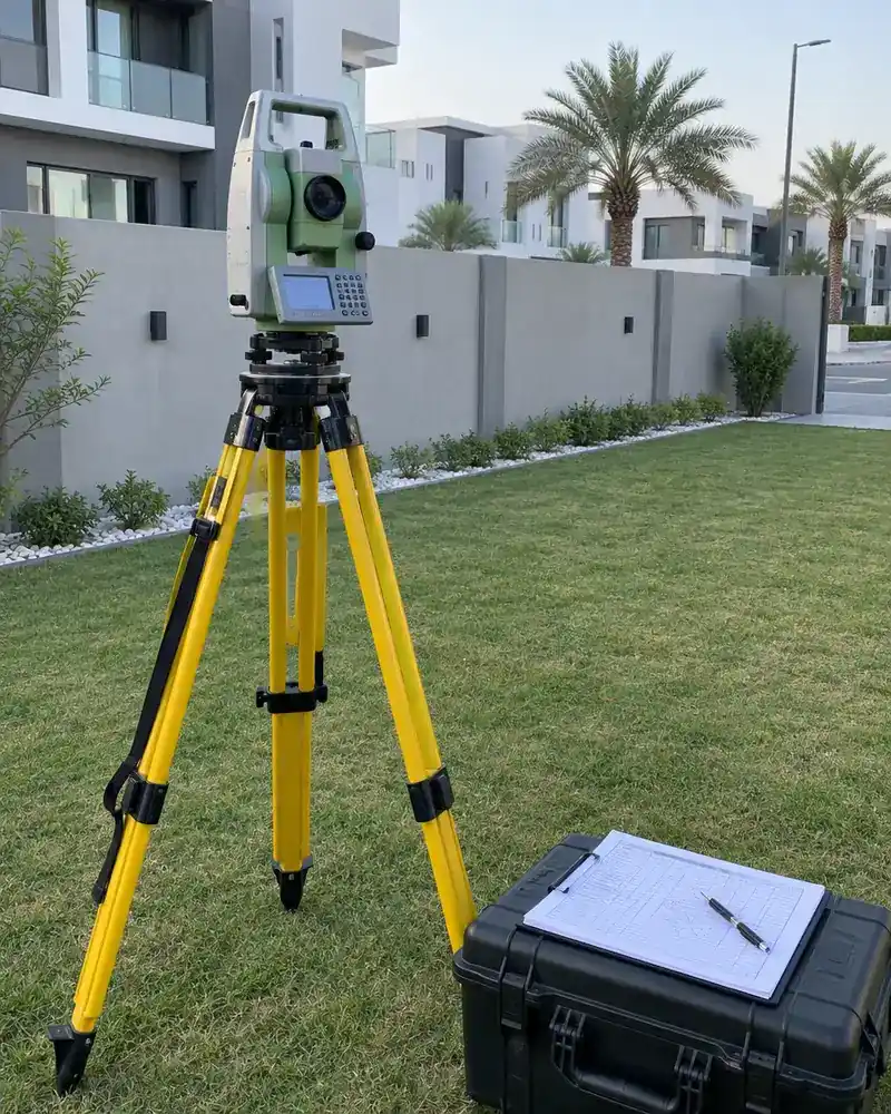
Field topographic survey
Physical boundary measurements taken on site before any line is drawn
AutoCAD drafting software
Sketch drawn digitally at precise scale and printed at required sheet size
UTM coordinate system
Corner points recorded in the coordinate system accepted by Kuwait authorities
A2 engineering-grade paper
Printed on engineering paper at the sheet size required for the permit file
Before you call us
Plot ownership document
Bring the official title deed as the registered dimensions are the drawing basis
Plot number and area
Knowing the plot and block number speeds up the municipality data check
Intended use of the plot
Residential, commercial or mixed use, as setback rules differ for each
Purpose of the kroki
State whether for a permit, a sale or locating where a new build will sit
More in architectural design & drawings.
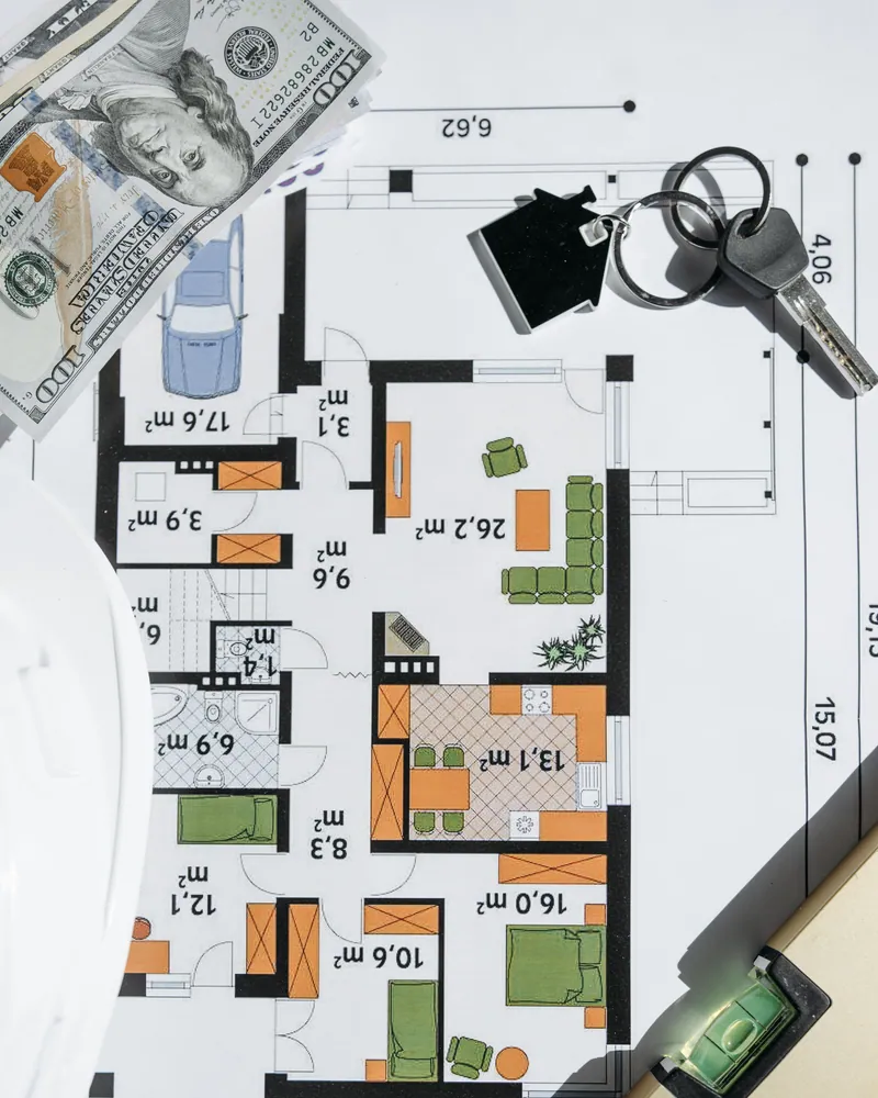


What goes wrong on most builds.
Most problems are built in early and found late. These three cost the most to fix.
 01
01Shortcuts under the finish
Concrete and steel disappear under the finish, so a shortcut there stays hidden until it cracks.
 02
02Mistakes behind the wall
A water or drain mistake found after the finish means breaking new tile.
 03
03A rushed finish
The finish is what you live with every day. Rushing it shows in every corner.
The solution?
One licensed company for the structure, the pipes and the finish.

Shortcuts under the finishEngineering supervision on site
The structure is followed before it is covered.

Mistakes behind the wallPlumbing by the same company
Laid before the walls close.
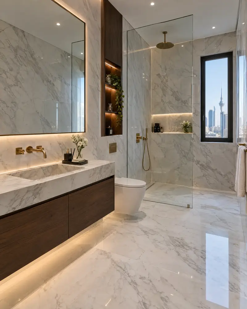
A rushed finishFinishing, and maintenance after
The same company finishes and maintains.
How it works.
First contact
Call or WhatsApp us and share the plot number and block
Document review
We review the title deed and confirm plot data with the municipality
Field survey
Engineer visits site to measure boundaries and record actual coordinates
Kroki drafting
Kroki is drawn in AutoCAD with all setbacks and plot data shown
Handover and stamp
Licensed engineer signs and stamps the kroki, handed over print-ready
Plot shape
Regular rectangles are quicker to draw than angled or irregular plots
Plot area
Larger plots require more field measurement points
Existing survey data
Ready coordinate data from a prior survey reduces field time
Number of frontages
Corner plots with two street frontages need two separate setback calculations
Number of printed copies
Some authorities require a set number of signed and stamped hard copies
Why one contractor beats four.
Every extra contractor means another schedule and another excuse. With us, one company answers for all of it.
Turnkey
Shell and finishing with one company, from footings to keys.
Pay in instalments
Construction and finishing on instalments. Ask us for the details.
Engineering supervision
Architectural drawings and engineering supervision on site.
After handover
Maintenance contracts and a 24-hour emergency plumber.
A licensed Kuwaiti company for building construction, finishing, renovation and infrastructure works.
What our clients say.
See all reviews on GoogleExcellent
Taha Saad
Google review
Excellent
Ali Nadi
Google review
Plot sketch (kroki) in Kuwait. We work across all six governorates of Kuwait: Capital, Hawalli, Farwaniya, Mubarak Al-Kabeer, Ahmadi, Jahra.
Official references: Kuwait Municipality (building permits and plans)
Questions, answered.
Call nowWhat is the difference between a kroki and a site plan?
A kroki is a simplified location sketch showing plot boundaries, dimensions and setbacks, submitted with the permit application. A site plan is more detailed and shows the building position within the plot and its relation to surrounding streets.
Can an old kroki be reused if the plot has not changed?
A municipality may accept a previous kroki if the data still matches the title deed exactly. Any change in zoning requirements or an expired document means a fresh kroki is needed.
Does an irregular plot shape require extra steps?
Yes, plots with angled corners or irregular sides require more coordinate points to be recorded on site and additional geometric calculations to ensure the sketch is accurate and accepted.
Can the kroki be used for a property sale or purchase?
A kroki is used in property transfer transactions to verify registered plot dimensions. Confirm it carries a licensed engineer stamp and that its data matches the current title deed.
What happens if an encroachment is found during the field survey?
If the survey reveals a neighbouring structure or existing installation crossing the boundary, we document it in a written report. Resolving the encroachment is a separate step that must be completed before construction begins.

Licensed and registered in Kuwait.
Check us before you sign. This is our licence number and what it covers.
Find us on Google Maps