
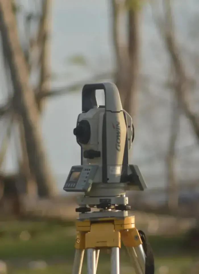
Land surveying in Abu Halifa
Abu Halifa projects require accurate field surveying to establish plot coordinates and levels before design drawings. We use modern surveying equipment and produce an approved coordinate report covering all site data.
- Licensed company
- Turnkey builds
- Pay in instalments
- All 6 governorates
What sets this area apart
Abu Halifa is a residential area in Ahmadi with medium to large plots on a regular road network. Ground is relatively stable but some plots sit on low-lying land or near limited industrial zones, requiring precise level and drainage documentation. Surveying must include official reference points, road heights, actual boundaries and approved common areas.
Abu Halifa sits in Ahmadi governorate near the main Ahmadi Town centre.
We establish levels and boundaries based on reference points approved by Ahmadi municipality before any design begins.
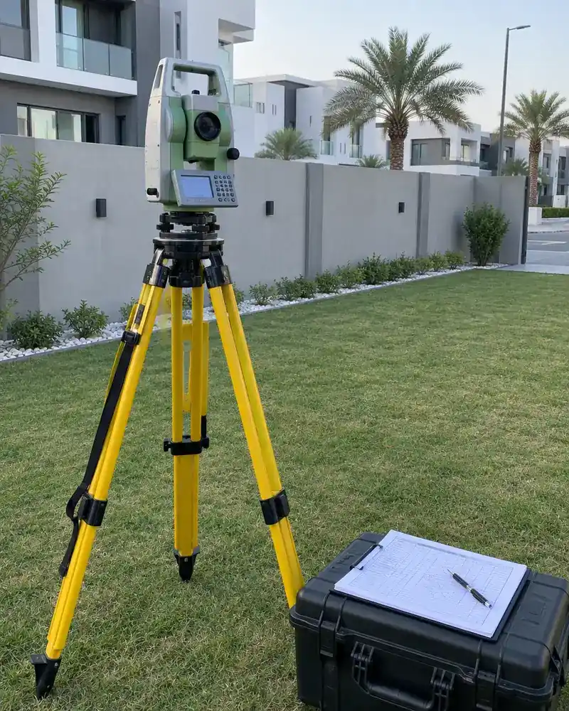
What the survey covers
Accurate field measurement documenting plot boundaries, levels and full coordinate data
Boundary setting-out
Marking plot corners and side lengths to metric accuracy on site
UTM coordinates
Recording each boundary point in the approved UTM coordinate system
Ground levels
Measuring level differences across the plot to reveal natural slope

Adjacent street data
Recording surrounding street widths and plot entry positions
Survey drawing
Producing a signed CAD drawing to attach to the permit file
Designer coordination
Handing survey data directly to the architect to start design
How it works.
First contact
Call or WhatsApp us with the plot number and approximate area
Document review
We review the ownership document and any available drawings
Field visit
The survey team visits and measures boundaries and levels with precision instruments
Drawing production
Field data converted into a certified CAD drawing with UTM coordinates
Handover and coordination
Signed drawing and CAD file delivered to you and the architect
Why one contractor beats four.
Every extra contractor means another schedule and another excuse. With us, one company answers for all of it.
Turnkey
Shell and finishing with one company, from footings to keys.
Pay in instalments
Construction and finishing on instalments. Ask us for the details.
Engineering supervision
Architectural drawings and engineering supervision on site.
After handover
Maintenance contracts and a 24-hour emergency plumber.
A licensed Kuwaiti company for building construction, finishing, renovation and infrastructure works.
What our clients say.
See all reviews on GoogleExcellent
Taha Saad
Google review
Excellent
Ali Nadi
Google review
More areas for Land surveying
Other services in Abu Halifa
Questions about Land surveying in Abu Halifa
Call nowDoes surveying account for low-lying land and drainage in Abu Halifa?
Yes, we study the plot topography, surrounding areas and natural drainage patterns and document them in the coordinate report to ensure safe drainage design.
Do coordinates include boundaries and common areas approved by Ahmadi municipality?
Yes, we reference Ahmadi municipality records and define official boundaries, common land and approved access ways, which we include in the report.

Licensed and registered in Kuwait.
Check us before you sign. This is our licence number and what it covers.
Find us on Google Maps