
Land surveying in Surra
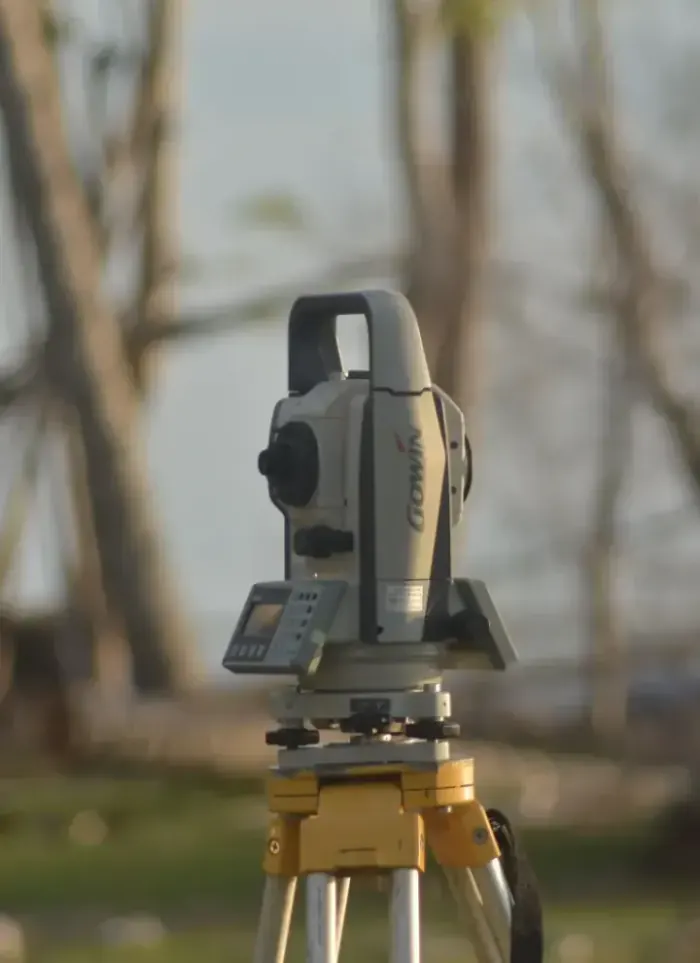
Land surveying in Surra focuses on large plots and prestige villas along the Fourth Ring Road. We document precise boundaries and full elevation data to ensure designs align with actual ground topography.
- Licensed company
- Turnkey builds
- Pay in instalments
- All 6 governorates
What sets this area apart
Surra plots are expansive, accommodating prestige villas on one or two storeys with private yards and gardens. Boundary streets are orderly, but land within each plot shows diverse topography and steeper natural slopes than other areas. Some plots sit on natural rises or depressions requiring detailed elevation survey and precise contour mapping to guide landscape, path and surface drainage design.
Surra is in the Capital governorate along the Fourth Ring Road, known for large plots and prestige residential development.
Surra plots exhibit diverse natural topography with elevation changes sometimes exceeding three metres across a single plot.
What the survey covers
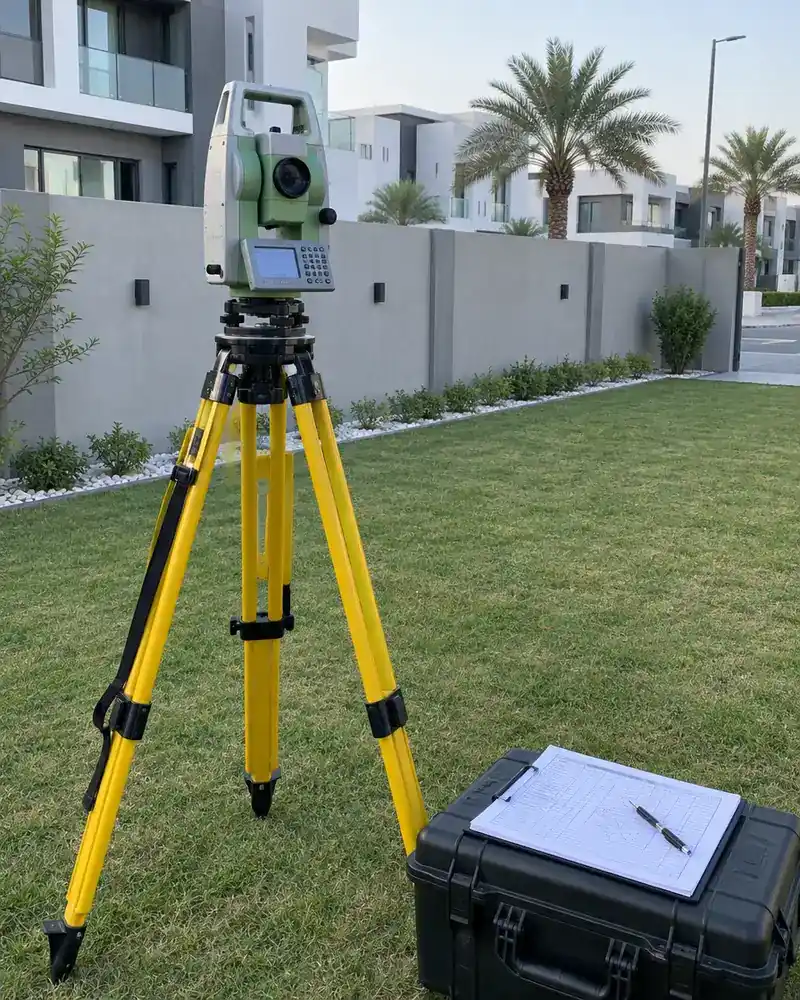
Accurate field measurement documenting plot boundaries, levels and full coordinate data
Boundary setting-out
Marking plot corners and side lengths to metric accuracy on site

UTM coordinates
Recording each boundary point in the approved UTM coordinate system
Ground levels
Measuring level differences across the plot to reveal natural slope
Adjacent street data
Recording surrounding street widths and plot entry positions
Survey drawing
Producing a signed CAD drawing to attach to the permit file
Designer coordination
Handing survey data directly to the architect to start design
How it works.
First contact
Call or WhatsApp us with the plot number and approximate area
Document review
We review the ownership document and any available drawings
Field visit
The survey team visits and measures boundaries and levels with precision instruments
Drawing production
Field data converted into a certified CAD drawing with UTM coordinates
Handover and coordination
Signed drawing and CAD file delivered to you and the architect
Why one contractor beats four.
Every extra contractor means another schedule and another excuse. With us, one company answers for all of it.
Turnkey
Shell and finishing with one company, from footings to keys.
Pay in instalments
Construction and finishing on instalments. Ask us for the details.
Engineering supervision
Architectural drawings and engineering supervision on site.
After handover
Maintenance contracts and a 24-hour emergency plumber.
A licensed Kuwaiti company for building construction, finishing, renovation and infrastructure works.
What our clients say.
See all reviews on GoogleExcellent
Taha Saad
Google review
Excellent
Ali Nadi
Google review
More areas for Land surveying
Other services in Surra
Questions about Land surveying in Surra
Call nowDo you provide a contour map of the plot?
Yes. We produce a detailed contour map showing elevation lines and natural slopes, essential for landscape, path and drainage design on undulating terrain.
How long does surveying a large Surra plot take?
It depends on plot size and terrain, but a full GPS survey with contour measurements is usually completed in one working day. Digital files follow within several days.
Licensed and registered in Kuwait.
Check us before you sign. This is our licence number and what it covers.
Find us on Google Maps