
Land surveying in Adan
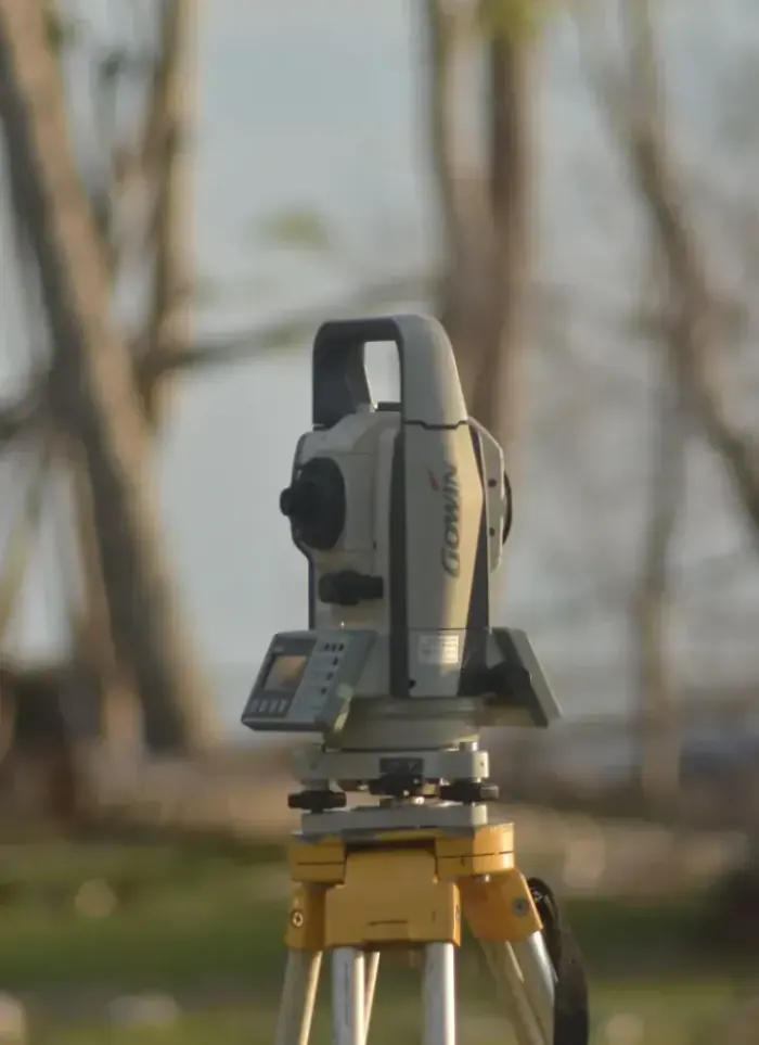
Land surveying in Adan starts with documenting the actual plot boundaries and site levels in the field. We establish exact starting coordinates for all subsequent drawings and designs using modern survey equipment and detailed field notes.
- Licensed company
- Turnkey builds
- Pay in instalments
- All 6 governorates
What sets this area apart
Adan plots range from residential villas to large commercial parcels and mixed-use properties, many near the Gulf shoreline or water channels. Precise surveying here requires checking the shoreline datum and actual ground levels, especially if the plot borders a public road or government drainage. We document all elevations against the official government datum and produce coordinate reports that serve both the design engineer and the municipality for approvals.
Adan lies in Mubarak Al-Kabeer governorate, where residential homes mix with commercial and light industrial properties near the Gulf shoreline.
Field surveying includes multiple elevation measurements across each plot to verify natural slope and water drainage.
What the survey covers
Accurate field measurement documenting plot boundaries, levels and full coordinate data

Boundary setting-out
Marking plot corners and side lengths to metric accuracy on site

UTM coordinates
Recording each boundary point in the approved UTM coordinate system
Ground levels
Measuring level differences across the plot to reveal natural slope

Adjacent street data
Recording surrounding street widths and plot entry positions
Survey drawing
Producing a signed CAD drawing to attach to the permit file
Designer coordination
Handing survey data directly to the architect to start design
How it works.
First contact
Call or WhatsApp us with the plot number and approximate area
Document review
We review the ownership document and any available drawings
Field visit
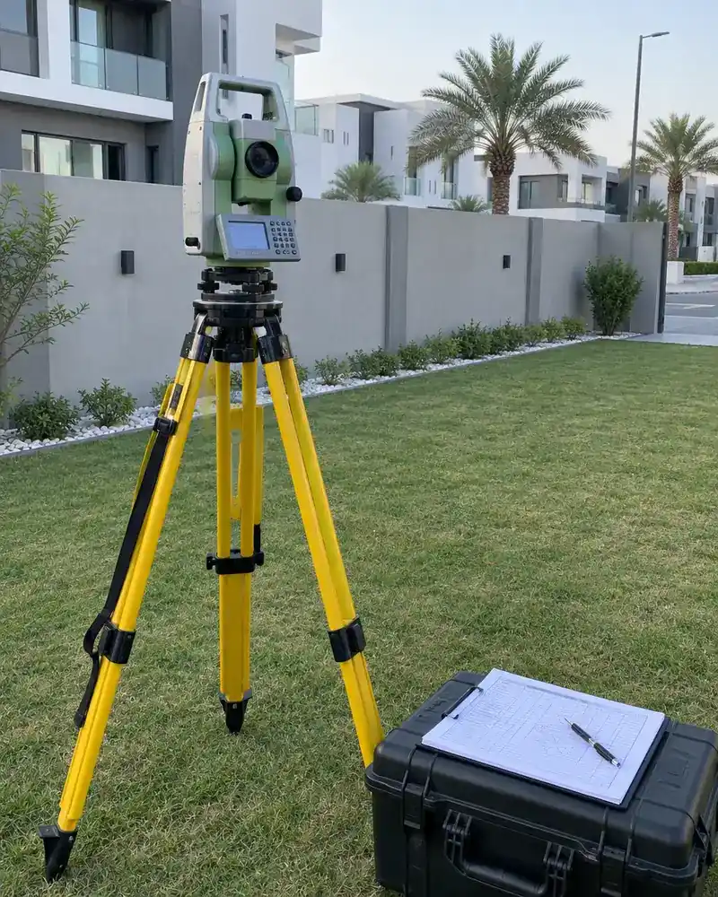
The survey team visits and measures boundaries and levels with precision instruments
Drawing production
Field data converted into a certified CAD drawing with UTM coordinates
Handover and coordination
Signed drawing and CAD file delivered to you and the architect
Why one contractor beats four.
Every extra contractor means another schedule and another excuse. With us, one company answers for all of it.
Turnkey
Shell and finishing with one company, from footings to keys.
Pay in instalments
Construction and finishing on instalments. Ask us for the details.
Engineering supervision
Architectural drawings and engineering supervision on site.
After handover
Maintenance contracts and a 24-hour emergency plumber.
A licensed Kuwaiti company for building construction, finishing, renovation and infrastructure works.
What our clients say.
See all reviews on GoogleExcellent
Taha Saad
Google review
Excellent
Ali Nadi
Google review
More areas for Land surveying
Other services in Adan
Questions about Land surveying in Adan
Call nowHow do you survey a plot that borders the shoreline or a water channel?
We document the actual waterline and shoreline elevation with precise measurements tied to the official datum. This allows the engineer to understand natural drainage and any legal coastal restrictions.
Do you issue an official certificate with coordinates and boundaries?
Yes, we deliver a detailed survey report with coordinate tables, boundary maps and elevation data, signed by a licensed surveyor and accepted by government authorities.

Licensed and registered in Kuwait.
Check us before you sign. This is our licence number and what it covers.
Find us on Google Maps