
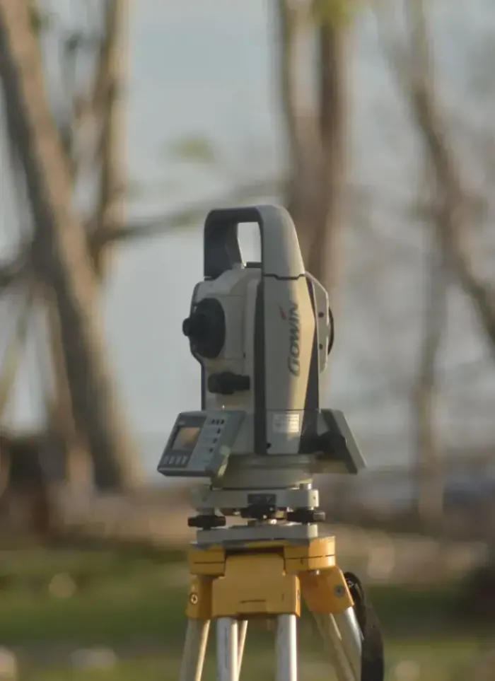
Land surveying in NW Sulaibikhat
Land surveying in NW Sulaibikhat addresses scattered residential plots on less regular roads with variable elevations. We transfer exact coordinates and full levels from site to design files before any architectural drawings begin.
- Licensed company
- Turnkey builds
- Pay in instalments
- All 6 governorates
What sets this area apart
NW Sulaibikhat developed gradually with scattered plots of varying depth and width on roads still being organized. Field surveying must precisely document each plot depth and any irregular natural elevations affecting drainage and foundations. Some plots sit far from main utility networks, requiring accurate distance measurement to the nearest approved road and verification of legal setbacks applicable in this part of the area.
NW Sulaibikhat sits in the Capital governorate, a developing residential area with gradual infrastructure growth.
We measure distance from plot boundary to the nearest approved road and verify required setbacks before submitting coordinates.
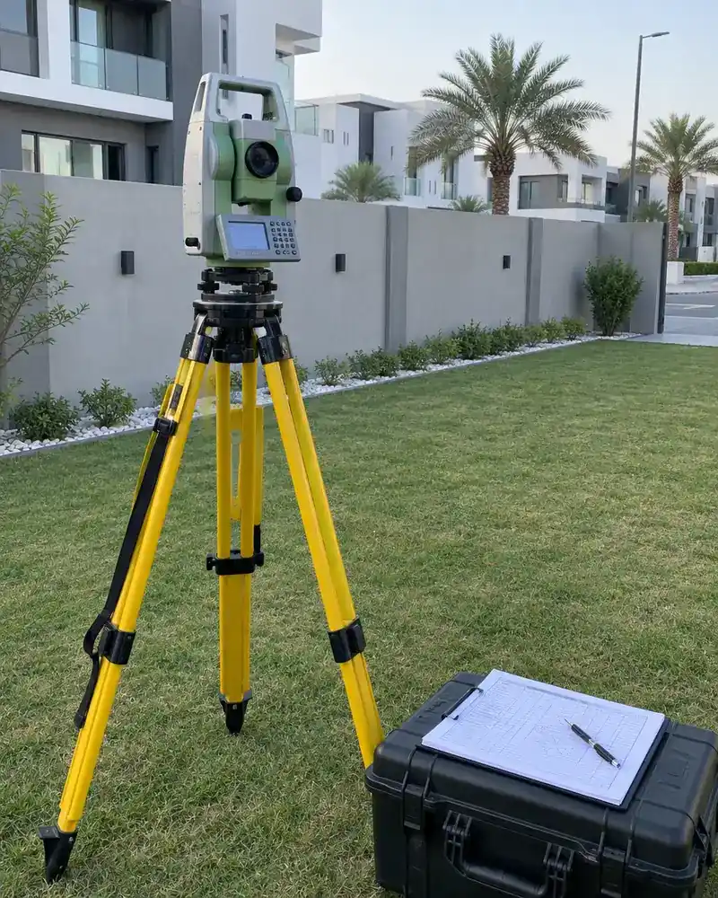
What the survey covers
Accurate field measurement documenting plot boundaries, levels and full coordinate data
Boundary setting-out
Marking plot corners and side lengths to metric accuracy on site
UTM coordinates
Recording each boundary point in the approved UTM coordinate system
Ground levels
Measuring level differences across the plot to reveal natural slope

Adjacent street data
Recording surrounding street widths and plot entry positions
Survey drawing
Producing a signed CAD drawing to attach to the permit file
Designer coordination
Handing survey data directly to the architect to start design
How it works.
First contact
Call or WhatsApp us with the plot number and approximate area
Document review
We review the ownership document and any available drawings
Field visit
The survey team visits and measures boundaries and levels with precision instruments
Drawing production
Field data converted into a certified CAD drawing with UTM coordinates
Handover and coordination
Signed drawing and CAD file delivered to you and the architect
Why one contractor beats four.
Every extra contractor means another schedule and another excuse. With us, one company answers for all of it.
Turnkey
Shell and finishing with one company, from footings to keys.
Pay in instalments
Construction and finishing on instalments. Ask us for the details.
Engineering supervision
Architectural drawings and engineering supervision on site.
After handover
Maintenance contracts and a 24-hour emergency plumber.
A licensed Kuwaiti company for building construction, finishing, renovation and infrastructure works.
What our clients say.
See all reviews on GoogleExcellent
Taha Saad
Google review
Excellent
Ali Nadi
Google review
More areas for Land surveying
Other services in NW Sulaibikhat
Questions about Land surveying in NW Sulaibikhat
Call nowHow do you handle irregular elevations in NW Sulaibikhat?
We measure levels at multiple points across the plot and create an elevation map showing natural slope and areas where water might collect. We attach this data with the main report for the engineer.
What if the plot is far from the main approved roads?
We precisely measure the actual distance from plot boundary to the nearest approved road and verify the legal setbacks applicable at that distance. We fully document this in the report to ensure design compliance with local regulations.

Licensed and registered in Kuwait.
Check us before you sign. This is our licence number and what it covers.
Find us on Google Maps